Where Is Leesburg VA Located in Loudoun County Map and DC Distance

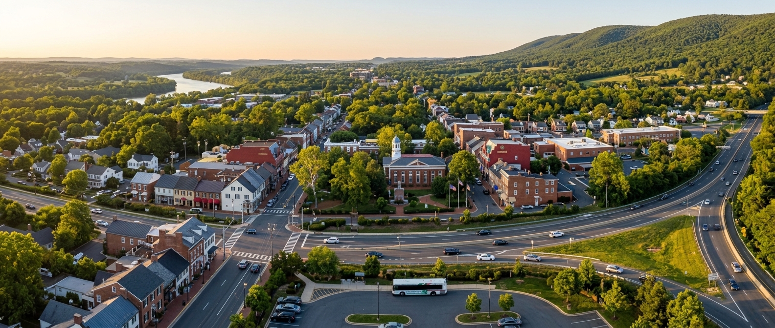
Leesburg · Community Photo
Welcome to an essential guide for anyone asking where is leesburg va located. Nestled in the far northeast of Virginia, Leesburg serves as the county seat of Loudoun County, perched at the base of Catoctin Mountain and just a short distance from the Potomac River. Its precise coordinates—approximately 39° 06′ 56″ N latitude and 77° 33′ 52″ W longitude—anchor it firmly on the map, offering a clear reference point for drivers, cyclists, and public‑transit users alike. Travelers often wonder where is leesburg va located in loudoun county map and dc distance, and the answer is straightforward: the town lies roughly 33 miles west‑northwest of Washington, D.C. Commuters can choose the toll‑free VA‑7 corridor or the faster VA‑267 Dulles Greenway, each providing a direct route to the nation’s capital within 45 to 60 minutes under normal traffic conditions. For those preferring mass transit, Loudoun County Transit runs commuter buses from Leesburg park‑and‑ride lots directly to downtown Washington, while nearby Silver Line Metro stations in Ashburn connect the region to the broader DC rail network. Whether you’re planning a relocation, a road‑trip adventure, or simply need a quick reference for daily commuting, this overview positions Leesburg’s location and distance information at the forefront. Explore the scenic routes, understand the geographic context, and feel confident navigating between Leesburg’s historic downtown and the bustling streets of Washington, D.C., with ease.
Geographic Overview
Where is Leesburg VA located? The town sits 33 miles (53 km) west‑northwest of Washington, D.C., nestled at the eastern base of the Catoctin Mountain foothills and just south of the Potomac River. This leesburg va location places it in the heart of northern Virginia’s rolling landscape, offering easy access to both the capital’s commuter corridors and the scenic countryside.
County Seat and Coordinates
As the historic loudoun county seat, Leesburg serves as the administrative hub for the region. Its precise GPS coordinates are about 39° 06′ 53″ N latitude and 77° 33′ 52″ W longitude, anchoring the town on modern maps and guiding travelers who rely on satellite navigation. The town’s status as the county seat underscores its longstanding role in government, law, and community services.
Strategic Crossroads and Modern Hub
The strategic positioning of Leesburg has made it a vital crossroads since the early 19th century, when federal documents were moved there for safety during the War of 1812. Today, major routes such as Route 7 and the Dulles Greenway (Route 267) converge in the area, turning the town into a vibrant economic and cultural centre for the Washington metropolitan region. Commuters, tourists, and businesses alike benefit from the blend of historic charm and convenient connectivity that defines Leesburg’s enduring appeal.
Understanding Leesburg VA on the Loudoun County Map
Eastern Loudoun Connection: Leesburg as the Map’s Central Hub
The eastern sector of Loudoun County unfolds like a vibrant corridor, linking historic towns to cutting‑edge innovation hubs.
Ashburn anchors the southern edge of this band, where residential neighborhoods give way to bustling office parks that house dozens of technology firms. Just a few miles north, Sterling adds a lively mix of retail, dining, and cultural venues, creating a seamless transition from work to leisure. The heart of the area beats along the Dulles technology corridor, a stretch of highway lined with data centers, biotech labs, and satellite offices for global corporations.
When you glance at a Loudoun County map, the pattern is clear: each town serves as a node in a network that stretches toward the nation’s capital. The map highlights the proximity of these communities to Washington, D.C., while also showing how they are woven together by a web of local roads and commuter rails. Travelers often ask where is leesburg va located in loudoun county map and dc distance, noting that Leesburg sits farther west, yet remains an integral part of the county’s overall geography.
Beyond the corporate skyline, the eastern sector preserves open space through parks, horse‑country trails, and scenic overlooks that invite residents to pause and enjoy the rolling Virginia landscape. The blend of modern infrastructure with historic charm makes this portion of Loudoun County both a destination for professionals and a welcoming home for families. Whether you’re navigating from Ashburn to Sterling, exploring the Dulles corridor’s latest tech incubator, or simply tracing the county’s towns on a map, the eastern sector offers a dynamic snapshot of growth, connectivity, and community.
Transportation Corridors
Virginia State Route 7, known locally as Leesburg Pike, runs east‑west through the heart of Loudoun County, linking the historic town of Leesburg with the high‑growth employment centers of Ashburn, Sterling, Herndon, Reston and Tysons Corner. Parallel to Route 7, Virginia State Route 267 incorporates the Dulles Greenway and the Dulles Toll Road, providing a fast‑track connection between the Dulles International Airport region and Washington, D.C. Together these arteries support thousands of daily commuters and a massive flow of commercial traffic that sustains the corridor’s data‑center ecosystem. For those asking where is leesburg va located in loudoun county map and dc distance, the town sits roughly thirty miles west of the nation’s capital, a short drive that underscores its strategic position in the greater metropolitan network.
Key Data‑Center Sites and Suburban Hubs
Ashburn: Globally recognized as “Data Center Alley,” this community hosts the nation’s densest concentration of carrier hotels, fiber routes and hyperscale facilities.
Leesburg Gateway: A planned 99‑acre development on the eastern edge of Leesburg along Route 7, envisioned by Google as a mixed‑use data‑center and commercial campus.
Loudoun Tech Center: Situated just off Route 7 near Ashburn, this business park includes a 34,835‑square‑foot technology building that accommodates specialized data‑center operations.
Sterling: A core suburban hub where electrical substations, telecommunications nodes and office parks converge along the Route 7/267 corridor.
Herndon, Reston, and Tysons Corner: Together they form the eastern anchor of the Dulles Technology Corridor, generating intense commuter demand and supporting a dense network of digital infrastructure.
Destination | Route Option | Distance | Typical Driving Time |
|---|---|---|---|
Ashburn, VA | Non‑Toll (Route 7) | ~7 miles | ~10 minutes (light traffic); up to 30 minutes (rush hour) |
Dulles Airport (IAD) | Toll (Route 267) | ~16.5 miles | ~18 minutes (average app estimate) |
Silver Line Metro Station (Ashburn Station) | Non‑Toll (local roads) | ~10.5 to 11 miles | ~13 minutes (driving/taxi) |
Loudoun County Transit Options from Leesburg
Morning and late‑afternoon commuters can board a coach‑style bus from the Leesburg Park & Ride to Washington, D.C., Rosslyn, Crystal City, or the Pentagon. The service runs Monday‑through‑Friday, excluding federal holidays, and the buses feature reclining seats, reading lights, overhead bins, and restrooms. A ride costs $12.00 each way when paid with a SmarTrip® card or Mobile Pay, while exact cash fares are $13.00. Reduced‑fare eligibility applies to qualified riders.
For local connections, Route 351 links Leesburg directly to the Ashburn Metrorail Station on the Silver Line. This weekday route is fare‑free and delivers passengers to the metro in roughly 16 to 31 minutes, depending on the stop and time of day. The connector is ideal for anyone looking to continue into Washington, D.C., via the rapid transit system.
Both options give residents a reliable alternative to driving, helping reduce traffic and offering a comfortable ride into the nation’s capital.
Explore the Western Loudoun County Map: Leesburg Gateway
The western side of Loudoun County unfolds like a patchwork of pastoral landscapes and historic villages.
From the charming streets of Purcellville, where boutique shops line the historic downtown, to the scenic crossroads of Middleburg, famous for its foxhunting heritage, the area feels both timeless and vibrant.
Round Hill adds a touch of country elegance with its rolling fields and quietly tucked‑away farms, while the foothills of the Blue Ridge provide a dramatic backdrop that invites hikers, riders, and nature lovers alike.
Interspersed among these settlements are expansive equestrian estates that echo the region’s long‑standing love of horse culture, and family‑run farms that supply fresh produce to markets throughout the state.
The loudoun county map with towns clearly marks each of these communities, helping visitors trace routes from the winding country roads to the historic wineries that pepper the landscape.
As you travel eastward, the terrain gently rises, offering sweeping vistas of vineyards and woodlands that seem to stretch toward the distant mountains.
Whether stopping for a tasting at a family vineyard, watching a horse parade through a small town square, or simply breathing the crisp, pine‑scented air, Western Loudoun delivers a sense of place that blends rural charm with understated sophistication.
It is a region where history, agriculture, and outdoor recreation coexist, creating an inviting destination for locals and travelers alike.
Seasonal festivals celebrate the agricultural heritage, and local artisans showcase handcrafted goods in markets that echo the community spirit found throughout the countryside.
Visitors often return year after year.
Leesburg serves as the vital administrative gateway and historic seat of government for Loudoun County, Virginia. Founded in 1758, the town sits near the Potomac River, linking the densely populated eastern corridor with the scenic western expanses of the county. Its downtown core preserves colonial architecture while offering modern amenities that support residents, visitors, and county officials alike. Travelers often wonder where is leesburg va located in loudoun county map and dc distance, discovering that the community lies roughly twenty‑four miles northwest of Washington, D.C. The strategic position makes Leesburg a natural hub for commuting, commerce, and cultural exchange across the region.
Key Western Attractions
Purcellville: A historic town rooted in the mid‑1700s, Purcellville is a cultural hub featuring the terminus of the Washington & Old Dominion (W&OD) Trail, a collection of boutique wineries, and well‑preserved turn‑of‑the‑century architecture that invites leisurely exploration.
Middleburg: Renowned internationally, Middleburg boasts a rich equestrian culture, upscale boutique shopping, and fine dining experiences that draw visitors from across the globe, while its preserved 19th‑century streetscapes reflect the legacy of Virginia’s horse‑racing heritage.
Waterford: Designated a National Historic Landmark district, Waterford presents an intact 18th‑ and 19th‑century Quaker village atmosphere, where stone homes, a historic mill, and quiet streets convey the simplicity and craftsmanship of early American settlement.
Bluemont: Nestled at the foot of the Blue Ridge Mountains, Bluemont offers sweeping mountain views, farm‑breweries, and vineyards that showcase the region’s agricultural bounty, providing a tranquil retreat for hikers, cyclists, and wine enthusiasts alike.
Destination | Primary Route | Distance from Leesburg | Typical Driving Time | Source Reference |
|---|---|---|---|---|
Purcellville, VA | Route 7 West | ~8 miles | 15–20 minutes | Town of Purcellville / Rome2Rio |
Middleburg, VA | Route 15 / Route 7 corridors | 17–17.9 miles | 28–30 minutes | MapSof / Rome2Rio |
Round Hill, VA | Route 7 West | Not explicitly specified | Roughly 20 minutes | Local commuter / community logs |
Wine Experiences Near Leesburg
If you’re wondering where is leesburg va located in loudoun county map and dc distance, the town sits about 25 miles west of Washington, D.C., making it an easy day‑trip destination for urban wine lovers. Loudoun County boasts more than 50 wineries and tasting rooms, and within the Leesburg limits there are eight active wineries offering a variety of varietals such as Chardonnay, Viognier, Norton, and Cabernet Franc.
Stone Tower Winery, located at 19925 Hogback Mountain Road, showcases over 95 acres of vineyards on a 400‑acre estate. Its “Estate Experience” tour is priced at $175 per guest, with reduced rates of $165 for Club Members and $155 for Estate Club Members. The Harvest Barn tasting room opened on Labor Day weekend of 2013, followed by the Tower View tasting room in 2015, and the vineyard has been cultivating vines since 2009.
For group outings, Vineyard Voyages operates a bus service from Market Station (110 South Street SE) that partners with 13 nearby wineries. The Explorer Package costs $99 per person (plus the standard 6 % booking fee), while the Connoisseur Package is $179 per person. Trip protection is $15 per guest at checkout, and groups of ten or more booked directly receive a $5 discount per ticket.
Plan Your Visit
The Loudoun Visitor Center at Market Station, 112 South Street SE, Suite 200, provides travel information and phone support at 800‑752‑6118 or 703‑771‑2170. October is officially designated as Virginia Wine Month, a perfect time to explore local spots such as Willowcroft Farm Vineyards, Casanel Vineyards, Fabbioli Cellars, Lost Creek Winery/Echelon Wine Bar, and October One Vineyard and Tasting Shop.
Whether you prefer a private tasting at Stone Tower or a multi‑winery bus tour, the region’s blend of historic winemaking heritage—dating back to the first commercial barrel in 1984—and modern hospitality ensures a memorable experience.
North‑South Corridor on a Loudoun County Map with Towns
Starting at the Maryland border, the corridor meets the historic town of Point of Rocks, a gateway where the former railway aligns with modern commuter routes.
From that juncture the pathway crosses the Potomac River, offering panoramic views of the waterway and the surrounding forested hills.
Once on the Virginia side, the route follows a gentle northeasterly arc that hugs the river’s floodplain before turning south toward the expanding suburbs of Prince William County.
The southern extension weaves through rolling terrain, linking key commercial hubs and residential districts before reaching into the more rural landscapes of Fauquier County.
Along the way, the corridor provides access to major thoroughfares, including the newly upgraded State Route 7 and the historic US 15 corridor, facilitating smoother travel between the Capital Region and the Shenandoah Valley.
Commuters benefit from reduced congestion at critical choke points, while freight operators enjoy a more direct line for moving goods toward the Port of Baltimore and the Washington D.C. area.
The design incorporates multiple multimodal options, from dedicated bus lanes to pedestrian and bicycle pathways, encouraging a shift away from single‑occupancy vehicles.
Environmental stewardship remains a priority, with storm‑water management features and wildlife crossings integrated into the corridor’s layout.
For residents wondering where is leesburg va located in loudoun county map and dc distance, the new alignment places the town within a convenient 30‑minute drive to the nation’s capital, while preserving the scenic character that defines the region.
Local businesses anticipate increased foot traffic as the pedestrian pathways intersect downtown plazas, and schools benefit from safer routes for student commuters.
The corridor’s strategic placement also supports emergency services, shortening response times across county lines.
Future phases may extend the line further north, reconnecting with historic rail corridors that once linked Maryland’s agricultural heartland to Virginia’s growing suburbs.
Historic Design of Route 15
The twelve‑mile stretch of Route 15 that links the Town of Leesburg with the Point of Rocks Bridge was conceived in the late‑1940s and early‑1950s, a period when road engineering relied on simple traffic projections and modest vehicle sizes. Planners imagined a rural corridor that would serve the surrounding farms and modest commuter flow, allocating space for roughly 12,000 vehicles each day. Over the decades, the corridor has become a critical artery for commuters traveling between Virginia and Maryland, with growth far outpacing the original assumptions. Today, the segment bears a daily load that dwarfs its design capacity, leading to congestion, safety concerns, and wear that the original pavement was never meant to endure. When someone asks where is leesburg va located in loudoun county map and dc distance, the answer places Leesburg just north of the Potomac River, a short drive from Washington, DC, yet the road that connects it is under constant stress. The historic intent of the route, rooted in mid‑century expectations, now clashes with modern travel demands, prompting calls for upgrades, bypasses, and smarter traffic management solutions.
Engineered to handle roughly 12,000 vehicles per day.
Current traffic volumes significantly exceed that design capacity.
Approximately 70% of peak‑hour traffic originates from Maryland and other states.
Route 15 Overview
Route 15 serves as a critical north‑south conduit through Virginia, linking the North Carolina border near Clarksville with the Maryland line by the Potomac River. The full Virginia segment stretches 230.37 miles, traversing diverse landscapes from rural valleys to growing suburban corridors. Its extensive reach supports local commerce, commuter traffic, and long‑distance travelers alike. A notable portion of the highway lies in Loudoun County, where the Leesburg‑to‑Point of Rocks stretch spans just 12 miles yet was engineered in the late 1940s and early 1950s to accommodate approximately 12,000 vehicles per day. This segment exemplifies how targeted capacity upgrades can alleviate congestion on a busy corridor while preserving the historic character of the surrounding communities. By concentrating design efforts on high‑traffic sections, planners achieve a balance between efficient movement and regional development. Understanding the distribution of traffic volumes along Route 15 helps stakeholders prioritize improvements, especially as growth pressures intensify in the Washington‑DC metropolitan area. The concise 12‑mile corridor near Leesburg illustrates the potential impact of modest length enhancements on overall network performance. For those curious about the region, the phrase where is leesburg va located in loudoun county map and dc distance provides a useful search cue when exploring maps and travel distances from the capital. Planners also examine adjacent routes such as US 29 and I‑66 to coordinate traffic flow, ensuring that improvements on Route 15 complement broader regional mobility goals and reduce pressure on parallel arteries. Community input remains vital, as residents advocate for safety features like wider shoulders, clearer signage, and pedestrian crossings in areas experiencing rapid growth.
Segment | Length (miles) |
|---|---|
Full Virginia length | 230.37 |
Leesburg‑to‑Point of Rocks | 12 |
Route 15 Capital Improvement Projects
Route 15 capital improvement projects are transforming transportation across Leesburg, VA, and surrounding corridors. Phase 1 of the Route 15 widening from Montresor Road to the Lucketts Bypass carries a budget of $30.839 million, while Phase 2 is projected between $62.300 million and $65.415 million. Additional segments, such as the Lucketts Bypass itself, are estimated at $46.079 million, with an alternative alignment design option reaching $273 million. The intersection of Route 15 and Lovettsville Road is slated for an $8.824 million upgrade, all drawn from the Loudoun County Capital Improvement Program.
The Route 15 Bypass and Edwards Ferry Road interchange in Leesburg, VA, anticipates total engineering, construction, utility relocation, and right‑of‑way costs of $181 million. Daily traffic volumes illustrate the need: Route 15 moves roughly 50,000 vehicles, Edwards Ferry Road sees about 28,000, and Fort Evans Road carries 13,000. These figures are supplied by VDOT and the Blue Ridge Leader.
South King Street widening comprises a 1.5‑mile stretch that expands Route 15 from two to four lanes between Virts Corner and north of Evergreen Mill Road. Phase I, a 0.6‑mile segment, was completed in 2013, demonstrating steady progress.
The upcoming Battlefield Parkway interchange will create a grade‑separated crossing at the Route 15 Leesburg Bypass, improving commuter flow and pedestrian‑bicycle connectivity. All projects aim to enhance safety, reduce congestion, and support regional growth.
For those searching where is leesburg va located in loudoun county map and dc distance, understanding these infrastructure investments clarifies how the town fits into the broader transportation network.
Geographic Bridge of Loudoun County
Positioned near the center‑north of the county, Leesburg serves as the natural crossroads where the fast‑moving tech corridor of eastern Loudoun meets the rolling vineyards and horse farms of the western piedmont.
As the loudoun county seat, the town anchors government services and regional planning, drawing residents from both the suburban suburbs and the scenic countryside.
At roughly 39° 06′ 53″ N latitude and 77° 33′ 52″ W longitude, Leesburg lies about 33 miles (53 km) west‑northwest of Washington, DC, making it a convenient stop for commuters traveling the Dulles Greenway (Route 267) or VA‑7 east toward the Capital Beltway.
When you wonder where is leesburg va located in loudoun county map and dc distance, picture a town perched at the base of Catoctin Mountain, just a short drive from the Potomac River and a historic downtown that showcases 18th‑ and 19th‑century architecture.
Culture and Heritage
Historic streets host art galleries, boutique shops, and community events that celebrate the town’s agricultural roots while embracing modern creative expression.
Commerce and Economy
More than 1,400 employers operate in the area, ranging from independent breweries to high‑tech firms, reflecting the blend of entrepreneurial spirit found on both sides of the county.
Quality of Life
Residents enjoy easy access to the Washington & Old Dominion Trail, upscale dining, and nearby wineries, all while living within a short commute to the nation’s capital.
Transit options: commuter buses link Leesburg to Washington, DC, and the Ashburn Silver Line station.
Scenic routes: driving east on Route 7 offers views of the rolling hills that define western Loudoun.
Leesburg VA to DC Distance: distance from Leesburg VA to Washington DC
Route Name | Distance (Miles) | Toll Status | Typical Off-Peak Drive Time | Rush Hour Drive Time | Key Features / Best For |
|---|---|---|---|---|---|
Route 267 (Dulles Greenway to Dulles Toll Road to I-66 E) | ~35 to 42 miles (depending on the exact DC destination) | Paid / Toll Road (Includes Dulles Greenway toll, Dulles Toll Road mainline plaza fee of $4.00, and dynamic E‑ZPass tolls on I‑66 Inside the Beltway ranging from $2.00 to $40.00+) | 45 to 60 minutes | 1.5 to 2+ hours | Best For: Direct, high‑speed commuting from western Loudoun County. |
VA-7 East (Harry Byrd Hwy to I-66 E or I-495 Capital Beltway) (Route 7) | ~35 to 42 miles (depending on final destination in D.C.) | Mixed / Partially Free (Free along most of VA‑7, but incurs dynamic tolls if transitioning onto I‑495 Express Lanes or I‑66 Express Lanes Inside the Beltway) | 50 to 70 minutes | 1.5 to 2.5 hours | Best For: Avoiding mainline Greenway/Toll Road fees if traveling outside peak gridlock windows. |
US-15 North / Maryland Route 28 & I-270 (Scenic / bypass route towards Northwest DC / Montgomery County) | ~40 to 45 miles (depending on final Northwest D.C. destination) | Free / Un‑tolled (No standard tolls unless utilizing optional managed lanes further down county corridors) | 60 to 75 minutes | 1.5 to 2+ hours | Best For: Accessing Northwest D.C., Montgomery County (Bethesda/Rockville), or bypassing heavy I‑66/VA‑7 bottlenecks. |
Commuter Tips for the Leesburg‑DC Route
When you calculate the leesburg va to dc distance, the drive typically covers 35 to 45 miles, depending on whether you stay on the non‑toll State Route 7 (Harry Byrd Highway) or opt for the faster toll corridor, Route 267, the Dulles Greenway. The Greenway links the US‑15 bypass in Leesburg directly to the Dulles Toll Road, which then joins I‑66 into downtown Washington, D.C. Because Route 267 is a privately operated toll road, an active E‑ZPass (or compatible electronic payment) smooths the journey and avoids stopping at the cash booths.
Peak traffic patterns are predictable: the morning eastbound rush runs from 6:30 AM to 9:00 AM, while the evening westbound surge stretches from 4:00 PM to 6:30 PM. During these windows, congestion can build quickly on Route 7, especially at the intersections with local cross streets. Real‑time navigation apps are essential for weighing toll costs against potential delays; they can reroute you to Route 7 when the Greenway experiences an incident, or steer you back to the toll road when traffic eases.
For commuters who prefer a public‑transit option, Loudoud County Transit runs commuter buses from park‑and‑ride lots in Leesburg straight to Washington, D.C., and connects riders to the Silver Line Metro at Ashburn. Yet many find the flexibility of a personal vehicle combined with an E‑ZPass on Route 267 the most reliable way to cover the leesburg va to dc distance on a daily basis.
Leesburg to DC Commute and Loudoun County Transit Options
Loudoun County Transit Express Service
Morning and late‑afternoon commuters can board the commuter bus Leesburg VA that departs from the town’s park‑and‑ride lot and heads straight into Washington, D.C. Key stops include Rosslyn, the Pentagon, Crystal City and Downtown Washington, giving riders a door‑to‑door experience without navigating highway congestion.
Onboard comfort: Coach‑style buses provide reclining seats, reading lights and ample overhead storage, creating a quiet environment for work or relaxation.
Amenities: Each vehicle is equipped with a restroom; Wi‑Fi availability varies by fleet, so checking the latest Loudoun County Transit specifications is recommended.
Payment options: Fares are accepted via SmarTrip card or exact cash, making the boarding process swift.
Silver Line Metro Ashburn Connection
For travelers who prefer rail, a short drive of about ten to twelve miles east brings you to the Silver Line Metro Ashburn station, the western terminus of the Washington Metro’s newest line. Local connector buses such as Route 351 shuttle passengers from Leesburg to the station, where parking facilities accommodate daily commuters.
Airport access: Riding the Silver Line eastward lets you transfer to the Yellow or Blue Line and reach Reagan National Airport (DCA) without leaving the rail system.
Capitol Hill reach: The line also delivers riders to central downtown stations, where quick transfers provide direct service to Capitol South and Federal Center SW.
Fare structure: Charges are distance‑based and collected through SmarTrip cards or mobile payment options, simplifying the travel experience.
Leesburg → Washington, D.C. Commute Calculator
Leesburg, VA is the county seat of Loudoun County, situated 33 miles (53 km) west-northwest of Washington, D.C., along the base of Catoctin Mountain near the Potomac River.
Lower score = better overall option based on your settings.
| Route | Time (min) | Daily Cost | Stress | Score |
|---|
* Metro fare $6.75/way (peak) · Bus fare $11.00/way (SmarTrip) · Driving miles ~35–45 depending on D.C. endpoint.
Leesburg VA Nearby Destinations & Dulles Airport to Leesburg
Destination | Approximate Distance | Primary Highway Route | Typical Drive Time | Regional Role |
|---|---|---|---|---|
Washington Dulles International Airport (IAD) | ≈15–16.5 miles | VA‑28 South / VA‑267 East (Dulles Greenway) | ~20–25 mins | Major international aviation hub providing global connectivity for Loudoun County residents and businesses (Dulles Airport to Leesburg). |
Reston Town Center | ≈17–18 miles | VA‑7 East (Harry Byrd Highway) | ~25–30 mins | Prominent suburban commercial, retail, and employment center within the Dulles technology corridor. |
Tysons Corner / Galleria | ≈23–25 miles | VA‑7 East (Leesburg Pike) | ~35–45 mins | Premier corporate, financial, and luxury retail capital of Northern Virginia (Tysons to Leesburg VA). |
Arlington / Rosslyn | ≈35–36.7 miles | VA‑7 East to I‑66 East / VA‑267 East | ~45–60 mins | Dense urban commercial and government‑adjacent business node directly across from Washington, D.C. |
Downtown Frederick, MD | ≈25 miles | US‑15 North | ~30–35 mins | Key cross‑border economic, historic, and transportation hub linking Northern Virginia to Western Maryland (Frederick MD to Leesburg). |
Winchester, VA | ≈38 miles | VA‑7 West (through Shenandoah Valley) | ~45–50 mins | Gateway to the Shenandoah Valley, serving as a regional trade, agricultural, and cultural center west of the Blue Ridge. |
Day Trips from DC to Leesburg: A Scenic Drive to Leesburg
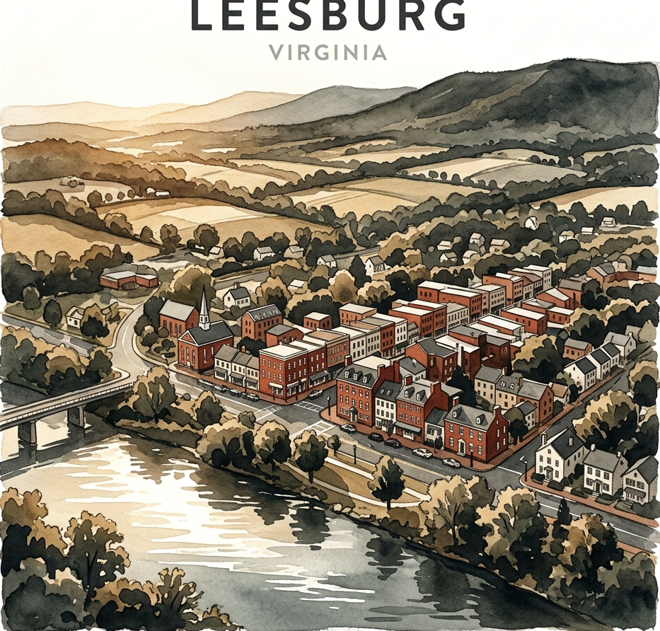
Leesburg, VA
Day Trip Guide
33 miles west-northwest of Washington, D.C. — nestled between Catoctin Mountain and the Potomac River.
Dulles Greenway → Dulles Toll Road → I‑66. The fastest corridor for commuters heading into central DC.
VA‑7 East connects to I‑66 or I‑495 (Capital Beltway). A scenic, toll-free alternative through Northern Virginia's countryside.
Commuter buses from Leesburg park-and-ride lots directly to Washington, D.C., plus local connectors to the Silver Line Metro at Ashburn.
Begin your journey in Washington, D.C. and choose your route west. The drive covers roughly 35–45 miles depending on your DC starting point—perfect for a relaxed morning departure.

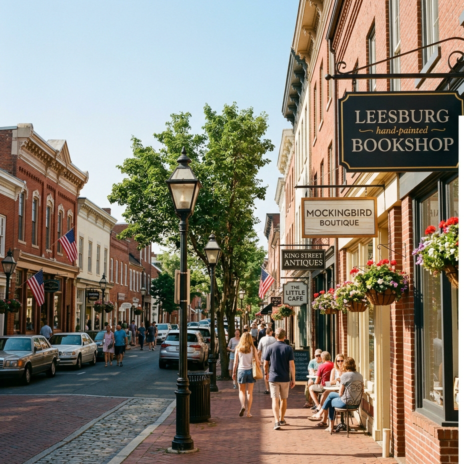
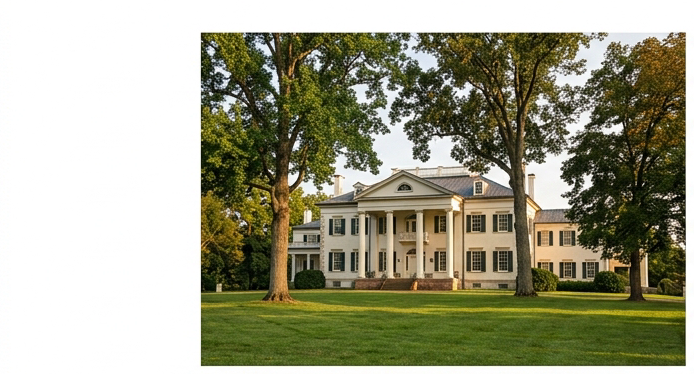
17195 Southern Planter Lane · 1,000-acre estate
Tours: 10 a.m.–3 p.m. weekdays
Grounds: 7 a.m.–6 p.m.
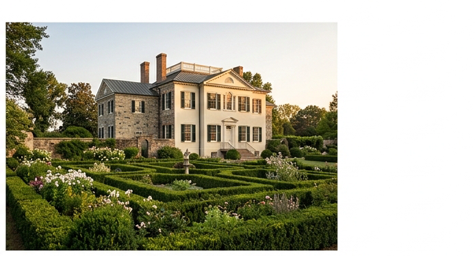
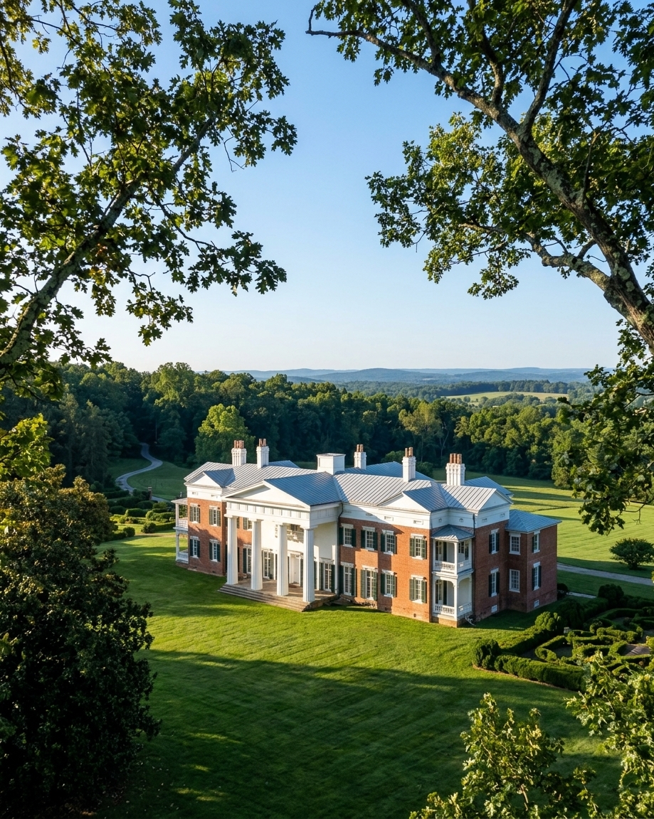
20850 Oatlands Plantation Ln · 4.5-acre walled garden · 8.5 mi trails
Open 10 a.m.–5 p.m.
March–December
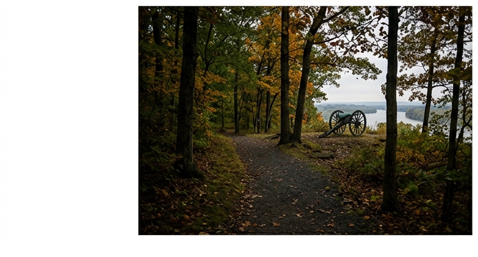
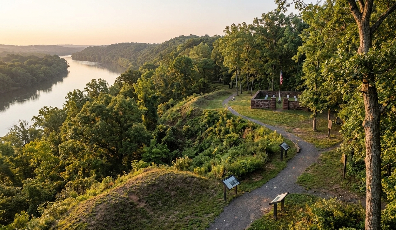
Balls Bluff Rd · 223 acres · Civil War site, Oct 21, 1861
Dawn–dusk daily
Weekend tours: 11 a.m. & 1 p.m.

Venture into Loudoun County's wine country surrounding Leesburg. Virginia's wine region offers vineyard tastings paired with artisanal local foods—the perfect way to unwind after a morning of historic exploration.
Vineyards are scattered throughout the rolling hills surrounding Leesburg in Loudoun County—easily accessible from downtown.
Dine in buildings dating to the 1800s–1890s. Each venue spotlights locally sourced ingredients:
When to Leave Washington
Weekday rush hour in the DC metro stretches from about 7:00 AM to 9:30 AM and again from 3:30 PM to 7:00 PM. To bypass the heaviest congestion, aim for an early‑morning departure before 7:00 AM, a midday window between the peaks, or a post‑rush departure after 7:00 PM. Mid‑week days, especially Wednesday and Thursday, tend to be the most crowded, so a Friday morning start can feel noticeably smoother.
Parking in Downtown Leesburg
Town Hall Parking Garage – 10 Loudoun Street SW (also listed as 25 West Market Street). Over 300 spaces; the first two hours are free. Paid rates apply Monday‑Friday 7:00 AM–7:00 PM at $1.00 per additional hour, capped at $10 daily. Free after 7:00 PM and all weekend days.
On‑Street Parking – Most downtown blocks charge $1.50 per hour with a two‑hour limit, enforced via the ParkMobile app from 8:00 AM–5:00 PM, Monday‑Friday. Parking is complimentary after 5:00 PM, on weekends, and on town holidays.
Pennington Lot and Garage – 210 Church Street NE. Contains 138 surface spaces and 717 garage spaces; all are free at any time.
Liberty Street Parking Lot – 204 Liberty Street SW. Free any time with a 48‑hour stay limit.
Scenic Route Options
Snickersville Turnpike (VA‑734) – A historic 15‑mile Virginia Byway that winds through rolling foothills, stone walls, and horse farms. Highlights include the double‑arched Hibbs Bridge (1829) spanning Beaverdam Creek.
US Route 15 – Offers a direct north‑south corridor lined with agricultural fields and vintage roadside sites such as the Old Lucketts Store at 42350 Lucketts Road.
A scenic drive to Leesburg rewards travelers with countryside vistas that feel far removed from the capital’s bustle.
Outdoor Recreation on the W&OD Trail
The Washington & Old Dominion Railroad Regional Park Trail stretches 45 miles from Shirlington to Purcellville. The western segment entering Leesburg provides roughly 10 miles of paved, multi‑use path through open pastures and cornfields. Cyclists and walkers can connect to the Leesburg Bike Trail Network, a partnership between Bike Loudoun and the town’s Parks & Recreation Department, for seamless local access.
If you’re visiting Leesburg VA day trip, remember that the town sits 33 miles west‑northwest of the nation’s capital—answering the common query where is leesburg va located in loudoun county map and dc distance.
Is Leesburg a DC Suburb? Loudoun County Seat FAQ
Leesburg sits at the far‑west edge of the Washington metropolitan area and is often described as the archetypal American exurb. While it provides easy access to the capital, the town retains a historic core and a 36‑block Old & Historic District that give it a distinct identity. For those wondering is Leesburg a DC suburb, the answer is that it functions as an outer‑suburban community with its own cultural and economic center.
In a straight line, Leesburg lies about 33 miles west‑northwest of Washington, D.C. The most common driving routes—Virginia State Route 7 or the Dulles Greenway (VA‑267)—cover roughly 35 to 39 miles. Under light traffic, the trip typically takes 45 to 60 minutes; rush‑hour conditions can extend the commute to well over an hour. This information answers the query where is leesburg va located in loudoun county map and dc distance for commuters and visitors.
The Washington Metro Silver Line ends at Ashburn Station, which is about 10 to 11 miles east of Leesburg. There is no direct Metro service into the town, so travelers must bridge the gap by car, rideshare, or the Loudoun County Transit Route 351 bus that connects the Leesburg Park‑and‑Ride to the Ashburn Metro South Bus Bay.
Leesburg was formally established in September 1758 after the Virginia Assembly selected the site for the county courthouse in 1757. Its original layout centered on the crossroads of the historic Carolina Road (now U.S. 15) and Potomac Ridge Road (now VA 7), making it a natural administrative hub. This historic positioning is the core of the loudoun county seat faq that many new residents encounter.